General Information:
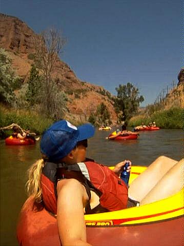
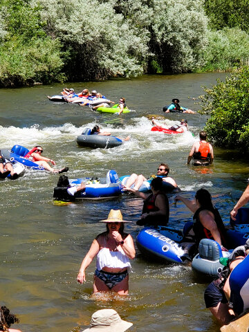
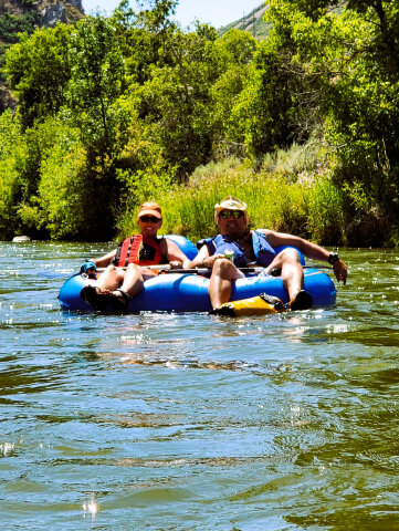
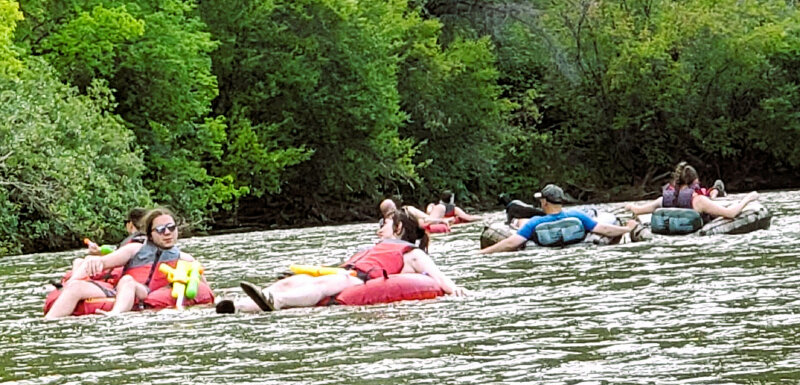
Utah law requires that every person on the Weber River wear a life jackets.
The river is heavily patrolled and tickets are issued for anyone caught not
wearing a life jacket. The tickets are not cheap, you have been warned.
Common sense dictates that you do not bring glass or glass bottles on the
river, but I have to mention this fact because common sense isn't nearly as
common as you would think it is. One other word of caution is the trailheads
and nearby roads are heavily patrolled for drunk drivers.
We have floated the Weber River with stream flows as high as 650 CFS
and I'd feel comfortable up to 700 CFS. During severe drought conditions and
early spring there are occasionally times when there is
not enough water being released from Echo Reservoir to float the river. We
have floated the Weber River with stream flows as little as 200 CFS.
I've been told it's possible to float the river with as little as 100 CFS,
but never experienced it personally. You can see the
Weber River stream flow below Echo Reservoir by visiting
USGS Current Weber Conditions. Children: Pro Tip:
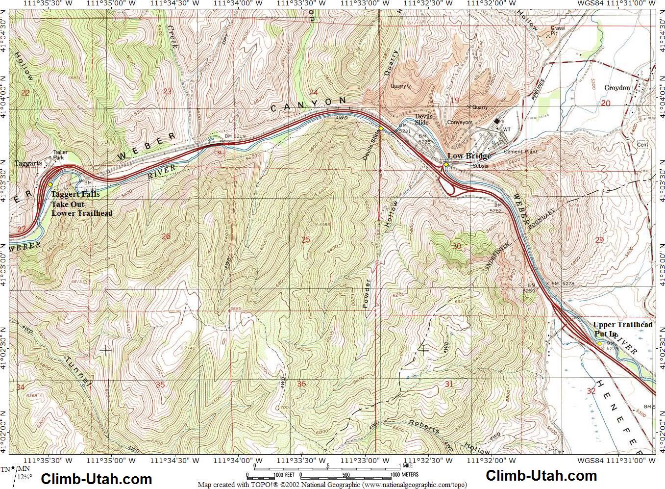
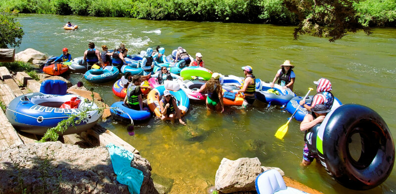
Trailhead Information: From the Lower Trailhead get back on I-84 and continue east for 4.2 miles to Exit 112 (Henefer), exit the interstate and turn left (north) and follow the road for 0.4 miles to where it ends in a large dirt parking lot next to the river. This is the Upper Trailhead, there is ample parking for numerous vehicles. This is where you will begin your float. Beginning in 2024 they are now charging $10 per vehicle to park at the Upper Trailhead.
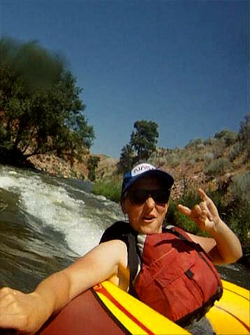
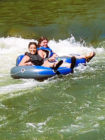
Route Information: About 2 miles into the trip you will float under a train trestle followed immediately by the Croydon Bridge (N41° 03' 36", W111° 32' 21"), this is the only real obstacle along this float. You can see this bridge coming from a long ways up river and it's really not much of an obstacle. The Croydon Bridge is low and you have two options, float under the right (east) side of the bridge or exit the river and portage around the obstacle, fortunately you can stop and make a wise choice before proceeding. After passing under the train trestle and just before the Croydon Bridge, you want to float to the right (east) shore, where you will find a calm eddy that makes exiting the river very easy and safe. At this point you can decide if you want to float under the bridge or walk around. Floating under the right side of the bridge is not difficult, it's just low and you have to duck. There is a beach on the right (east) side just past the Croydon Bridge that is a popular place to stop and regroup. Some call this beach "Party Island". Approximately 1/2 mile below the Croydon Bridge the river crosses under a train trestle and I-84. Soon after you cross under I-84 the interesting rock formation known as Devil's Slide (N41° 03' 49", W111° 32' 52") will appear on the left (south) side of the river. Devil's Slide is approximately the halfway point of the float. The second half of the river is a little lazier then the first half. Just kickback and enjoy the float. You will know you have about 1 mile left in your trip when the river travels under I-84 for about 200-yards, some people call this "the tunnel" or "Pin Ball Machine", but it's not really a tunnel, it's just a long bridge built over the river. Just before the finish you will again cross under a train trestle which lets you know thing are about to get interesting. Perhaps the best part about this float is it ends with a grand finale at Taggert Falls (N41° 03' 29", W111° 35' 29"), this is the largest rapid on the river and is an excellent place to take some pictures. Taggert Falls is easiest to navigate if you float down the left (south) south side of the river. Exit to the right (north) immediately after Taggert Falls and climb the embankment to your shuttle.
Professional Outfitter: I have used Barefoot Tubing numerous times and found them to be extremely professional and well organized. Their equipment is always first rate and well maintained. Reservations are recommended. Their office is located in Morgan, Utah. There are several other outfitter's offering tubing services along the Weber River but I know nothing about any of them.
Weber
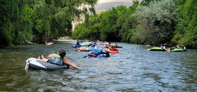
River History: Video: Optional Route: Put your tube in the river and begin floating. This extended version is not nearly as popular with tubers as the standard version because many feel that 3 1/2 hours is too long of float, but the extend version is very popular with rafts and kayak as they generally float much quicker because of their maneuverability.
© Copyright 2000-, Climb-Utah.com |