[ Homepage ]   [ Introduction ]   [ Warning ]   [ Ratings ] ]   [ Ethics ]   [ Feedback ]   [ Updates ]


From the Saddle with Dromedary behind.

Twin Peaks
11,330'
AKA:
Broads Fork Twin Peaks

Big Cottonwood Canyon
Wasatch Mountains
Hiking and Mountaineering

          The beautifully matched summits of Twin Peaks are visible from the entire Salt Lake City valley. The summits mark the highest point on the Salt Lake City skyline; this makes the peaks a popular destination. Twin Peaks is the centerpiece and namesake of the Twin Peaks Wilderness Area.

Circle of Friends:
          Broads Fork Twin Peaks is part of the "Circle of Friends" program. Members of the "Circle of Friends" have access to more specific information, explicit route information, GPS waypoints, trailhead location and detailed maps.  If you would like more information on joining the "Circle of Friends" visit the sign up page.

"Circle of Friends"

4th of July on the Summit, Little Cottonwood in the background.

General Information:
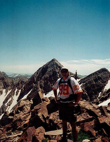
          The East Summit of Twin Peaks is 11,330'; the West Summit is 11,328'. Navigation for this route is moderate. A GPS is useful in identifying waypoints and verifying your location. Good map reading skills are helpful. The route contains a short amount of scrambling with moderate exposure. Experienced hikers will find this route a real delight. Twin Peaks is rated 3 III using the Yosemite Decimal System.

Warning:
          It should be noted that due to new trail construction and trail realignment the USGS maps are not accurate in relation to trail locations in this area. The trails are correctly located on the map provided.

From the West Summit with Salt Lake in the background.

Trailhead Information:
          The trailhead is located in Big Cottonwood Canyon and is accessible year round to any vehicle. Snow tires or chains are required by law in winter months.


[ Homepage ]   [ Introduction ]   [ Warning ]   [ Ratings ]   [ Ethics ]   [ Feedback ]   [ Updates ]

© Copyright 1999-, Climb-Utah.com