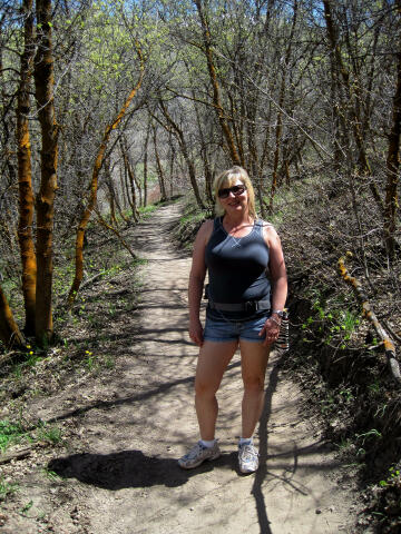
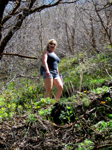
Numerous trail options are available. This area is extremely novice
friendly. Routes can be configured to last a few hours or an entire day. Pack
a snack and water for an enjoyable adventure. Most of
the trails are multi-use. Please use caution and yield to uphill traffic.
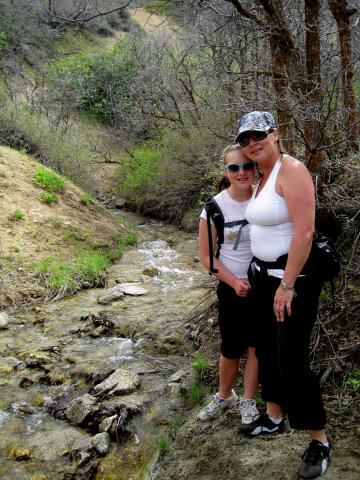
Numerous trail options are available. This area is extremely novice
friendly. Routes can be configured to last a few hours or an entire day. Pack
a snack and water for an enjoyable adventure. Most of
the trails are multi-use. Please use caution and yield to uphill traffic.
A GPS is not required when hiking this area. The USGS 7.5' Maps titled "Draper" and "Lehi" show the area described. There is nothing difficult about any of these trails. Most of the trails are signed. Navigation for the trail system is easy. All waypoints and maps use the WGS84 datum. Dogs, horses and domestic animals are allowed only on designated trails within the protected watershed. Animals must be on a leash at all times and you must collect and properly dispose of all waste.
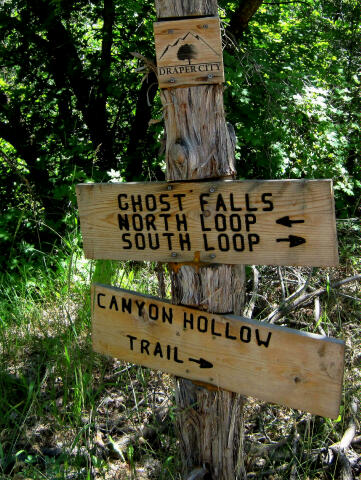
The Corner Canyon trail system has multiple trailheads. Below is information on several of the larger and more popular trailheads. Andy
Ballard Equestrian Park Trailhead: Canyon Road Trailheads: The Orson Smith Trailhead is signed, easy to locate, contains a picnic area, information kiosk, and restrooms. On the south side of the Orson Smith Trailhead you will find a gate and the Corner Canyon Road. The gate is unlocked and open if the road is dry. Follow the Corner Canyon Road south for 1.6 miles to the Bonneville Shoreline Trailhead (N40° 30' 22", W111° 50' 06"), this is also known as the East Bench Trailhead. The Bonneville Shoreline Trailhead (BST) is signed, easy to locate, contains a picnic area, information kiosk and restrooms. Most passenger vehicles can drive to this trailhead. Beyond this trailhead a high clearance vehicle is advised. This trailhead is an excellent place to begin numerous hikes and mountain bike rides. At the BST you will find a second gate. The gate is unlocked and open if the road beyond is dry. From the Bonneville Shoreline Trailhead continue driving south on the Corner Canyon Road for 1.0 miles to the Ghost Falls/Jacobs Ladder Trailhead (N40° 29' 39", W111° 48' 59"). The Ghost Falls/Jacobs Ladder Trailhead is signed, easy to locate, contains a picnic area, information kiosk and restrooms. This trailhead is an excellent place to begin numerous hikes and mountain bike rides. In addition to hiking the Corner Canyon Trail system, this trailhead also provides access to the Storm Window Arch hike and Lone Peak. At the Ghost Falls/Jacobs Ladder Trailhead you will find a third gate. The gate is unlocked and open if the road beyond is dry. From the Ghost Falls/Jacobs Ladder Trailhead continue driving south on the Corner Canyon Road for 0.9 miles to the Peak View Trailhead (N40° 29' 18", W111° 49' 14"). The Peak View Trailhead is signed, easy to locate, contains a picnic area and information kiosk. There is a fourth gate at this trailhead that is never unlocked. It should be noted that this is pretty much the high point of the Corner Canyon Trail system, and just about everything is downhill from this trailhead. This trailhead is normally used by those with a shuttle vehicle looking for an all downhill route.
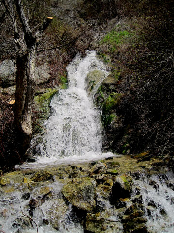
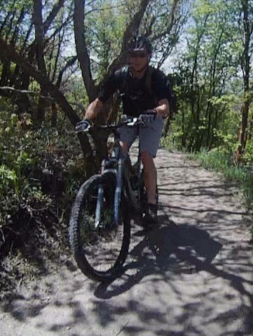
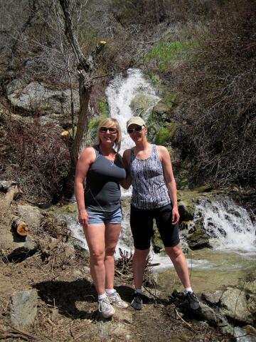
There are too many route combinations to try and describe. All of the trails are great and offer something special. Ghost Falls (N40° 29' 45", W111° 49' 18") is a popular destination for nearly all of the routes and is particularly popular with hikers. The falls normally flow year round, but in late summer the flow is light. My recommendation for first time hikers visiting the area is to begin at the Coyote Hollow Trailhead and hike to Ghost Falls. This is a very enjoyable 3 mile round trip hike. My recommendation for first time mountain bikers is to begin at the Andy Ballard Trailhead and use Canyon Hollow Trail to reach the top of the incredible Rush Trail. The one-way Rush Trail is the centerpiece of the trail system for most mountain bike riders. Clarks Trail, Ann's Trail and Ghost Falls Trail are all excellent routes for mountain bikers to reach the start of Rush Trail.
Video:
© Copyright 2000-, Climb-Utah.com |